A walk up Whernside - Yorkshire's Highest Peak
- timbarber
- May 31, 2020
- 4 min read
Updated: Dec 17, 2020

With lockdown restrictions lifted I decided to get up early and take a hike up Whernside with my wife and faithful black lab Bronte. I had climbed Whernside before twice, once many years ago when I still had my own knees as part of the Yorkshire 3 Peaks Challenge! That famous walk takes in Whernside, Ingleborough and Penyghent covering 24 miles and a combined ascent of 1585m and usually has to be completed in 12 hours or less, but I opted just for the one peak today.
I chose Whernside as it is the highest of all of Yorkshire’s Peaks at a height of 731m and there was something symbolic about doing this after being locked down for weeks. Its neighbour Ingleborough is more popular with walkers and looks higher but is actually 8m lower at 723m – but there are great views of this peak from across the valley.
We drove out from Burley in Wharfedale along the A65 and at Ingleton we took a right following the signs to Hawes. Just past Chapel le Dale you see the Old Hill Inn – a wonderful pub with an adjoining campsite and rooms. The building itself is full of history and dates to 1615. I’ve spent many an evening in here but sadly today it was still closed so I knew my post walk pint was not going to happen.
Parking on the road just past the pub, we walked back past the Hill Inn before taking a farm track on your right, just before a bunkhouse. This lane is called Philpin Lane which we followed until a farm settlement called Bruntscar. On either side of the track – there were round hollows covered in grass, which were evidence of a long gone lead mining industry from the 1700’s and were the remnants of bell pits where people dug down to find veins of lead.

There were also some beautiful wild flower meadows with bright yellow blooms surrounded by dry stone walls – something which the Yorkshire Dales is known for at this time of year.


At Bruntscar we followed the signs to Whernside summit where the track crosses a field before starting to rise up stone steps. This was where our legs started to feel the incline but as we made our way up, in the distance to the right were views of the majestic Ribblehead Viaduct and as we looked back where we had come from there were stunning views of the flat topped Ingleborough too.


The grass fields of grazing sheep and cattle gave way to rough scrub grass as we got higher and then we reached the base of the final ascent. We met a dark grey stone path (noticeably a different in colour from the path we have been walking on. It had been recently laid by the Yorkshire Dales National Park after a grant from the British Mountaineering Council as part of the Mend our Mountains campaign. The stone is actually Greywacke donated by Hanson quarry in Ingleton.

Without being a rock bore, most of the rock in this area and the Dales is from the Carboniferous Period 290-350 million years ago and this part of the Dales is known for its limestone. But Greywacke is different being the oldest rock in Yorkshire and is found at very few places in the Dales (Ingleton and near Malham Tarn being exceptions) and dates to the pre Cambrian over 500 million years ago!
Well this stage up these steps was the toughest bit of the day as we climbed the steep path which led to almost the top of the ridge that makes up Whernside. We stopped for a breather on reaching the top of this stretch then walked up the more gentle path and along the ridge to Whernside summit.
The weather had been glorious and sunny, but as soon as reaching the peak the wind was extremely powerful. Fortunately it was blowing us back onto the mountain as the path followed a dry stone wall about two meters wide but with a very steep drop on the one side.
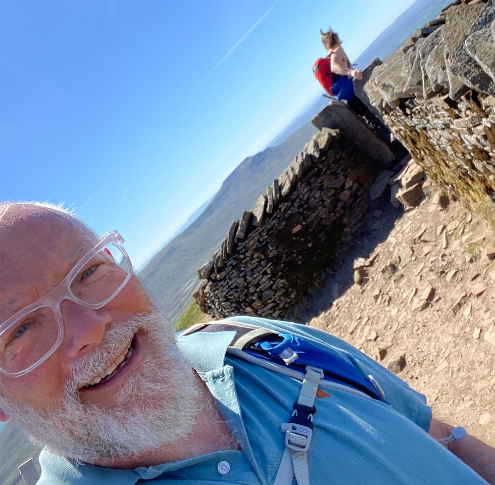
There was a shelter at the summit itself but there were a few people stopping for refreshments, so respecting social distancing we cracked on and started to descend the peak.
To our left we soon got clear views down one of the Yorkshire Dales more remote but very beautiful Dales – Dentdale. There was also a view down to a smaller viaduct in the distance – Denthead Viaduct.

Just as we started getting views down on the right of a small lake on Greensett Moss, the path took a right turn and starts to descend more steeply until we met a more obvious path at a T -junction which was The Dales Highway. We took a right turn here and walked down further past some stunning waterfalls on our right until we met the remains of an old aqueduct.

This was a great place for our packed lunch and our dog Bronte enjoyed a paddle and a good drink!

The path now followed the side of a railway line. This was the Settle to Carlisle railway and I can highly recommend taking a trip on it as it is one of the most scenic journeys in Britain with wonderful views through the Dales. We passed the old signal man’s house and Bleamoor signal station. Here we started to see the 400m spanned Ribblehead Viaduct with its 24 arches towering across the valley to carry the railway.

This Grade II listed structure was finished in 1874 and took 2300 men to build. It is one of Yorkshire’s iconic sights and I will be covering its history in more detail in a future blog.

We waked beneath the viaduct and followed a well defined path past Gunnerfleet Farm along a dry empty Winterscar Beck to Ivescar. The path went through sheep fields before reaching the road just 100m up from where we had parked earlier.

This was a glorious days walking and whist there was a very steep climb we got this out of the way early. The distance was about 8.5 miles in total and with a 20 minute lunchbreak included, took us just short of 4 hours.
As well as stunning views and photo opportunities, there was an abundance of birdlife – including lapwings, curlews and sky larks. It is a proper walk and if you are planning to try it – take a map and make sure you have some sturdy boots and plenty of water.


Comments